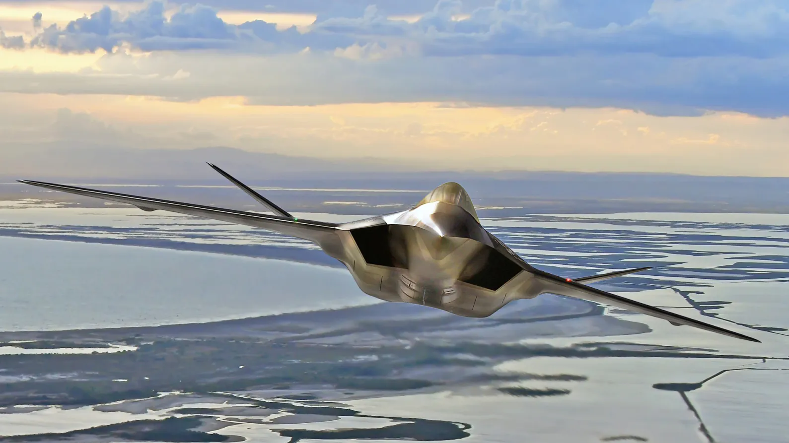
An unmanned aircraft flew more than 100 kilometers from its ground control station and reached an altitude of 2,100 meters during a September 2026 trial in Portugal. The test assessed its ability to determine its position over land when satellite navigation signals were unavailable, degraded or unreliable.
Announced October 16, the trial forms part of a €1.2 million European program led by Spain’s GMV and Indra and scheduled to run through 2028. The navigation system combines sensor data with algorithms that interpret the aircraft’s surroundings.
A key achievement was processing navigation imagery onboard in real time. Sending those images to a ground station for processing would have made navigation dependent on a data link, another potential vulnerability in a contested environment.
For military drones, the requirement is increasingly clear: losing access to satellite signals must not mean losing the ability to navigate.
Satellite navigation under pressure
Satellite navigation interference is already affecting aircraft near conflict zones. The European Union Aviation Safety Agency has updated its guidance in response to jamming and spoofing incidents, warning operators of the risks to navigation and other onboard systems.
Jamming blocks reception of a usable signal. Spoofing feeds a receiver false information that it accepts as legitimate. Spoofing can be harder to detect because the system may continue reporting a position that appears valid.
The consequences were evident in Finland in spring 2026, when four Ukrainian military drones entered Finnish airspace and came down. Investigators from Finland’s National Bureau of Investigation and Border Guard found that the aircraft had not been directed against Finland.
Authorities concluded that strong satellite navigation jamming detected in the eastern Gulf of Finland, together with weather conditions and wind, had contributed to their deviation from their intended routes.
Range and endurance figures tell only part of the story. A drone designed to fly long distances must also maintain a reliable estimate of its position throughout the mission. Protecting satellite reception helps, but relying on it alone leaves a single point of failure.
Combining inertial and visual navigation
Each alternative to satellite navigation has limitations. Combining methods allows an aircraft to compensate for some of those weaknesses.
Inertial navigation uses onboard sensors to measure motion and estimate changes in position from a known starting state. It requires no continuous external signal. Its weakness is drift: small measurement errors accumulate over time, progressively reducing the accuracy of the position estimate.
Cameras can provide another navigation input. An onboard computer tracks features in successive images and uses their apparent movement to refine its estimate of the aircraft’s motion.
Research by the National Aeronautics and Space Administration has demonstrated how a camera and inertial sensors can work together to improve localization on small aircraft. Tracking persistent features in the surroundings helps constrain errors that would otherwise accumulate.

In the Portugal trial, the image-based navigation software ran onboard in real time. The aircraft could use what its sensors observed without transmitting imagery to the ground for a position estimate.
Combining these inputs, a process known as sensor fusion, also allows the aircraft to cross-check its navigation data. Satellite signals can provide a reference while they remain reliable. Inertial sensors track motion, while cameras supply observations against which the system can check and refine its estimate.
According to the European Defence Agency, combining several navigation sources with algorithms allowed the tested system to maintain an estimate close to the aircraft’s actual position over land without satellite signals.
Additional sensors and onboard processing bring integration costs. Computing capacity, electrical power, weight and sensor synchronization all affect the aircraft’s design. The tested technology still needs to become a complete system that meets the required standards before it is ready for operational use.
Why performance dropped over water
The trial also exposed a limit to visual navigation. Over land, the system maintained an estimate close to the aircraft’s actual position. Over the sea, it performed less effectively because there were too few recognizable landmarks.
The European Defence Agency has consequently chosen to focus further development on operations over land.

Roads, buildings and distinctive terrain can provide features for a navigation system to track. A largely uniform sea surface offers fewer references. More capable cameras and processors cannot fully compensate for a scene that contains little usable visual information.
The results also show why describing the aircraft as satellite-independent would be premature. The system demonstrated an ability to navigate without satellite signals under the conditions tested; performance varied with the environment.
Carrying several navigation sources introduces another challenge. When their estimates disagree, the system must determine which inputs it can still trust.
Beyond satellite dependence
The European program must now progress toward a complete navigation system that meets operational requirements, with another trial scheduled for 2027.
Three factors will be particularly important: the accuracy maintained over longer missions, performance in environments with few recognizable landmarks, and the weight, power and integration costs of the sensors and onboard processing needed to provide this resilience.
The challenge extends beyond this European experiment. Aviation safety authorities increasingly recognize satellite navigation interference as a persistent operational hazard near conflict zones.
A truly resilient military drone may therefore not be one that abandons satellite navigation altogether, but one that can continue navigating when satellite signals disappear or become too unreliable to trust.